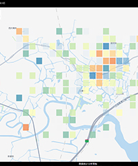
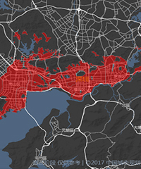
In view of the construction of urban road network system, in close connection with China's urban reality and development trend, Cennavi can define the boundaries of urban built-up areas scientifically, and standardize urban road grading and density indicators of road network, etc.