
From October 22 to 24, China National Computer Conference of 2020 (CNCC2020) was held in Beijing. NavInfo, as a benchmark enterprise in the field of intelligent transportation, was invited to attend and deliver a keynote speech, which had presented the innovative product MineEarth launched by our company based on location big data in detail from two aspects, i.e. intelligent travel and traffic management.
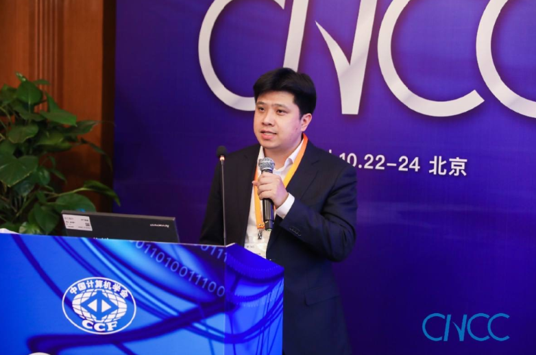
On October 23, Wen Yuhao, deputy general manager of Technology Center of Cennavi, the big data company of NavInfo Group, delivered a keynote speech entitled "MineEarth: Digitization Base of Smart City" in the sub-forum held at the same term, and introduced the innovative product MineEarth launched by our company based on location big data from two aspects, i.e. intelligent travel and traffic management, and shared and discussed it with the guests at the meeting.
Wen Yuhao said that with the innovation and development of new technologies such as smart city, new energy, automatic driving and vehicle-road coordination, cars would not only be a means of transportation shuttling through the traffic arteries, but also become the connecting point between the traffic elements, such as people, roads and environment, and the city. Therefore, a digital base of smart city, which could connect the car with the whole ecosystem of the city, would be essential. Under this background, our company innovatively launched the digital foundation 'MineEarth', which was tailored for the information-based construction of smart cities.
He said that NavInfo had built a professional location big data platform 'MineData' together with partners with an open and inclusive mind, and it included rich data on vehicles, environment, people and infrastructure, based on which we could provide many services for public travel, such as dynamic traffic, road weather and road safety warning. MineEarth was a comprehensive upgrade of the big data platform 'MineData', which could carry massive, diverse and heterogeneous vehicle and city data, and realize the perceptual presentation of massive data from vehicles and cities.
MineEarth adopts a self-developed 2D-3D integrated engine, which supports the digital generation of space, sky and land to truly restore the real world, and can meet the location data presentation requirements of smart cities in different dimensions and different operation scenarios, including 360-degree street view, refined roads, oblique photography, underground pipe network, BIM, DEM, etc. In addition, MineEarth has its own AI algorithm think tank, which can provide hundreds of algorithms and LBS services related to the transportation, assist the traffic management department in making scientific decision, and support intelligent travel and traffic management in all directions.