
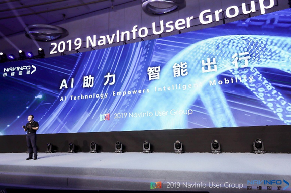
On September 17, the 2019 NavInfo User Group with the theme of "Innovation and High Achievement" kicked off in the Shanghai Tower. At the meeting, NavInfo presented its latest innovations and thoughts to nearly 1,000 attendees from clients, government departments, partners, media and investors, etc. and discussed with the guests on the location service-based intelligent travel as well as the prospect on travel in future.
It’s been two years since NavInfo proposed the top-level strategy "Thinking of Intelligent Transportation" for the first time in 2017. In the past two years, NavInfo has gradually transformed from a location service provider to an autonomous driving solution provider, driven by not only its overall understanding of maps and spatial locations, but also its another core capability, i.e. artificial intelligence.
"AI of Things is the global development trend in the future. In NavInfo, AI of Vehicles is our key development direction at the present stage. For the past 20 years, we have been empowering the development of our customers and partners with high-quality location services. Data + Algorithm is our core competence, and is also the background for us to develop AI. The empowerment of AI to automobile reflects our innovative development philosophy, and also represents our thinking on the commercialization of autonomous driving." Cheng Peng, CEO of NavInfo, said in his opening keynote speech.
Since 2002, NavInfo has been accumulating high-quality road video and image data of the country for nearly 20 years, including high-quality point cloud data of national expressways covering more than 300,000 kilometers acquired by the autonomous driving map in recent years, as well as the data provided by the partners and users nationwide. In the past two years, NavInfo has revitalized these massive location data, which not only gave birth to the location big data platform "MineData", to enable the development of location data from assembly to cross-border integration, and further to blooming in the industry, but also made the data ecology become to be the basis for NavInfo to deploy the development plan of intelligent mobility based on AI technology.
Massive high-quality real-scene data provides a large number of effective training data sets for NavInfo to develop new AI-based deep learning algorithm. As the AI technology develops at high speed, NavInfo has been improving its location service capacity continuously. With the launch of the map production platform FastMap3.0, the AI technology has greatly improved the efficiency and accuracy of big data mining, automatic identification mapping and automatic editing, which enables the platform to update map data at a hourly level, and also enables the company to develop more innovative navigation products with the use of new technical tools such as AI + big data and AI + AR.