MineData 3.0 Launch Event & 2019RTIC FORUM Conference -- Location Big Data Empower the Industry to Draw a New "Blueprint" of Smart City

Createtime:2019-07-30
share:
On July 25, the MineData 3.0 Launch Event & 2019 RTIC FORUM was held in Beijing. NavInfo and Cennavi jointly launched MineData3.0 platform at the conference. Industry experts, business representatives and the media from multiple fields such as government department, scientific research institution, automotive, insurance, logistics and the Internet, attended the conference. 

Wu Jinfeng, the Deputy Director of the Science and Technology Commission of the China Aerospace Science and Technology Corporation and Chairman of NavInfo, made a speech on the conference. He said that, as a professional big data company and the main unit of RTIC standard promotion, application and industrialization, subordinated to NavInfo, Cennavi has made measurable achievements along the way. Meanwhile, MineData has also emerged as an important layout of the NavInfo Group on the basis of the concept of smart city. Amid the introduction of the 3.0 platform, we hope that big data will bring about more optimized and in-depth solutions to more industries. 


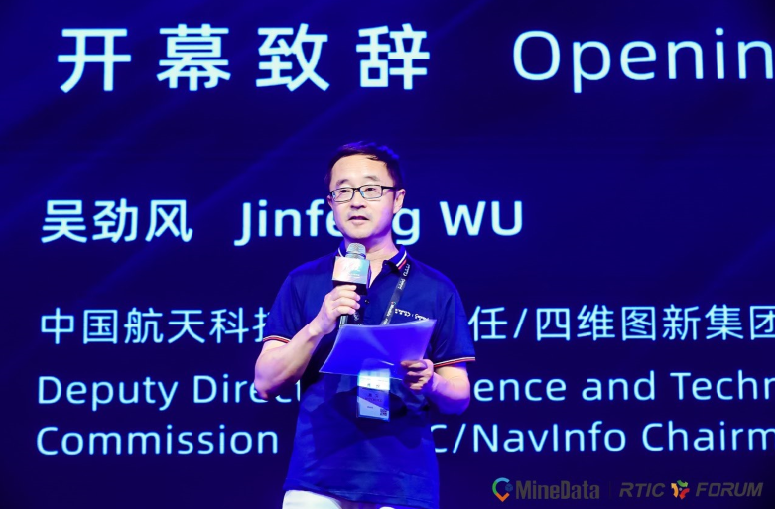
Figure 1: Speech by Wu Jinfeng 


MineData 3.0 with the refined service concept constructs location interconnection 


The MineData Location Big Data Platform made its debut in NavInfo in 2017. It is operated by Cennavi, mainly provides multi-dimensional location big data for business support and customizes the exclusive location big data solution for industry customers with a mix of professional algorithms and visualization effects. 


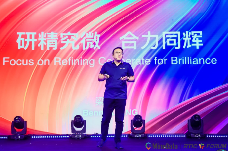
Figure 2: Speech by Liang Yongjie 


The release of MineData3.0 represents the second overall upgrade of the platform, Liang Yongjie said, the SVP from NavInfo and General Manager from Cennavi: "MineData has expanded from the initial industry empowerment to cross-border integration among industries, and then stretched to the current refining service concept, constantly deepening the integration of location big data with the industry, addressing the weak points of the industry, and generating more industry value." 


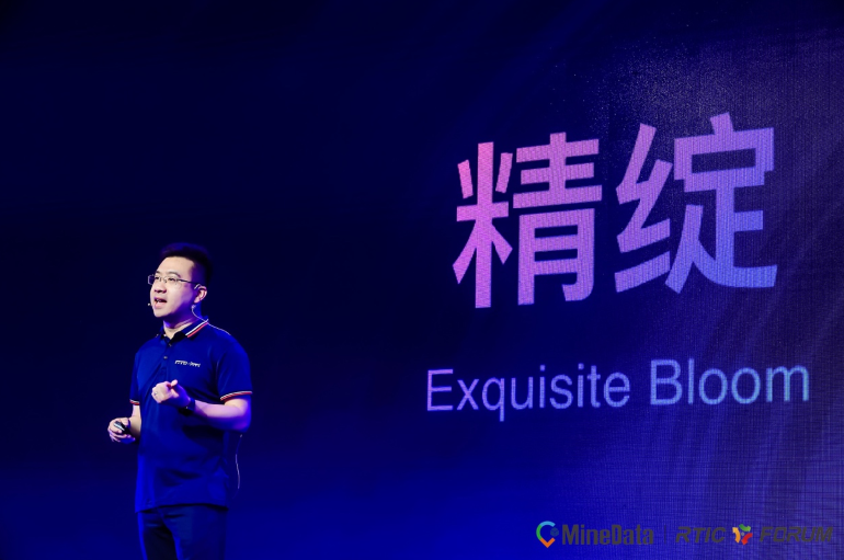
Figure 3: Speech by Yang Laitu 


"MineData3.0 serves as a completely new and upgraded version, which involves multiple upgraded functions, such as data management, visualization ability and core algorithms, compared with the version 2.0". Yang Laitu, the Deputy General Manager of Cennavi, introduced,"It involves another breakthrough in 3D visualization ability, refined restoration of business scenarios, and re-upgrading of location-based service capability. The MineData3.0 platform demonstrates dramatic characteristics such as refinement, intellectualization and integration." 

Among them, the MineMap3.0 3D visualization solution is highly customizable, featuring core advantages such as high-performance scene rendering and multi-dimensional spatial integration. It supports 3D rendering effect display of an array of data types, unique parametric modeling capabilities, spatial analysis tools and big data visualization services, fully catering to the demands of industry user system development and actual business demand and reducing the user costs. 

In addition, the platform has also introduced a brand-new open platform (MineStudio), an one-stop platform for location big data scheme development, for the first time, which integrates data, algorithm, computing, development and service. It integrates the full product line capability of MineData and emerges as an open platform merging data ecology, algorithm pre-research, interactive development and operational services. Through the open platform (MineStudio), industry users can quickly cater to their business demands by putting their creativities into truth as a way to resolve the weak points and difficulties of the industry. 


Figure 4: Releasing ceremony site 


Based on different application scenarios, MineData has synchronously launched a series of industry-wide solutions such as traffic, traffic police, insurance and planning. Fully taking into consideration the actual business demands of the industry, relevant intelligent innovative services are applied in different fields with platform capabilities such as refinement, intellectualization and integration to support the industry to quickly achieve the transformation from 0 to 1 and from 1 to N, so as to help industry users to enhance refined management capabilities and achieve intellectualization and digitalization. 


Expand friend circle -- signed strategic cooperative agreement with 3 partners at conference site 

At the conference, NavInfo signed a strategic cooperation agreement with Hangzhou Hikvision Digital Technology Co., Ltd. Based on Hikvision's capabilities in security products, algorithms and solutions, the parties jointly developed and integrated product solutions in business areas such as intelligent transportation and intelligent parks. At the same time, the parties will also profoundly explore the Hikvision HD and night vision video data, and devote themselves to the cooperative research and development of HAD Map and security robot with a mix of the high precision location and automated driving technology of NavInfo. 

In addition, Cennavi has signed strategic cooperation agreements with Ping An International Smart City Technology Co., Ltd. and Xiamen Grate Power GEO Information Technology Co., Ltd. respectively. They will carry out all-round exchanges and cooperation in the fields of smart city construction, big data technology and product application. 

2019 RTIC FORUM was held concurrently 

During the conference, 2019 RTIC FORUM was held concurrently. Expert representatives from RTIC member units and industry elites shared the current RTIC technology promotion and application results, discussed the huge industry value brought about by innovative thinking based on location big data, and fully implemented the new significance given to RTIC in the new era. 

Liang Yongjie said, RTIC FORUM will usher in a new decade of development. As the initiator and key implementation unit of the national RTIC traffic information technology standard, Cennavi will continue to innovate and lay a solid foundation for regionalization and even globalization of the standard. It is said that, at present, about 100 mainstream models are equipped with Cennavi traffic information service, covering 340+ cities in China, as well as Hong Kong, Macao and Taiwan, allowing 5 million+ vehicle-mounted users and 500 million+ Internet users to enjoy green travel.  


Figure 5: Product display 


At the conference, a number of experts and representatives from well-known enterprises both at home and abroad delivered keynote speeches, interpreted the innovation and development of a raft of such fields as location-based service, connected car, big data and intelligent transportation, and worked together to draw a new view of a smart city on the basis of the data of "fine precision". 

Learn how we can help

Contact Us